Bachelor Degree in Geospatial Information Technologies Engineering
 The Degree is oriented to scientific, technological and socio-economic training in Information and Communications Technologies within the field of Geospatial Information.
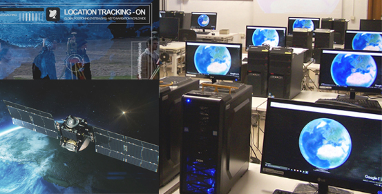
In addition to knowing the ways to obtain georeferenced information with the support of Topography, Remote Sensing and Photogrammetry, it deepens the treatment and analysis of geospatial information through GIS tools and the design and implementation of (mobile) web solutions that exploit geoinformation to solve specific engineering and society problems.
To train professionals with the ability to:
- Obtaining and producing georeferenced information.
- The design, implementation and use of spatial databases and geospatial big-data.
- The use and programming of Geographic Information Systems (GIS).
- The creation and use of services in Space Data Infrastructures and geoportals that facilitate their e.
- The integration and transformation of Geospatial Information.
- Designing and implementing web applications and services that integrate and communicate geospatial information in the form of maps.
- Apply object-oriented spectral and multivariate image analysis processes from airborne sensors (satellite, aircraft, UAV) for cartographic applications.
- Integrate time data series captured by geolocated sensor networks for analysis and application in decision-making.
|
Area: Engineering and Architecture Art.5 Admission regulations:
Future Student Information:
Requirements: request for details |

