

Master Degree in Seismic Risk Analysis through Geospatial Technologies
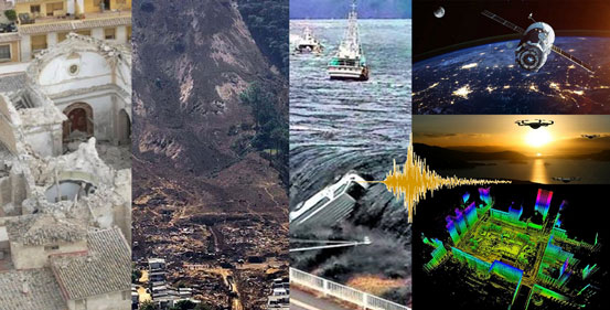 The Master in Seismic Risk Analysis through Geospatial Technologies has an academic-research character, and it offers highly specialized training in each of the subjects that are combined for the total treatment of calculation of this risk: Geology, Seismology, Seismic Hazard, Vulnerability, Expositions and costs. It also offers high-level training in different geospatial technologies for linking data from distinct origins and performing a risk analysis, with a theoretical-practical orientation, which leads to knowing the conceptual foundations, techniques and methodologies related, and to the mastering of its application in real cases.
The Master responds to the social needs of train specialists in the field due to the significant impact of earthquakes on the affected population, which is growing and can only be reduced understanding the associated risk. The Master Programme is aligned with the Sustainable Development Goals (SDGs) of the 2030 Agenda, in particular with SDG 11 that promotes the mitigation of climate change and the resilience of populations to disasters. It is also in line with different regulatory frameworks, at a national or international level, such as the Sendai Framework for Disaster Risk Reduction 2015-2030.
|
Area: Engineering and Architecture Art.5 Admission regulations:
Future Student Information:
Requirements: request for details |